Where Cartography Becomes Art
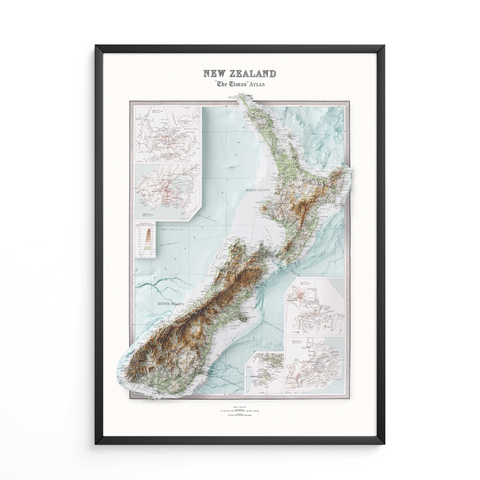
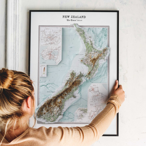
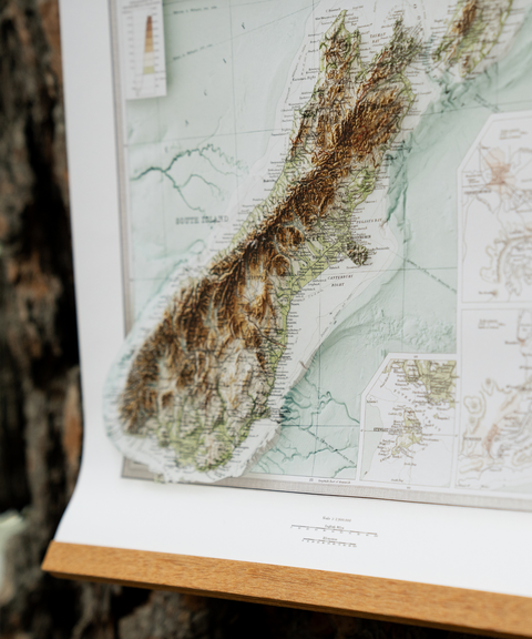
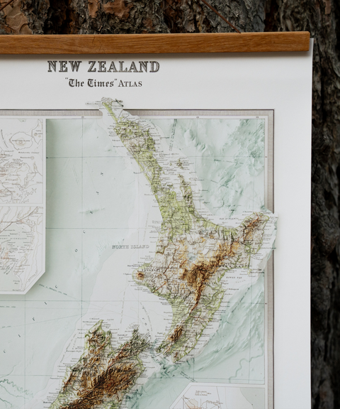
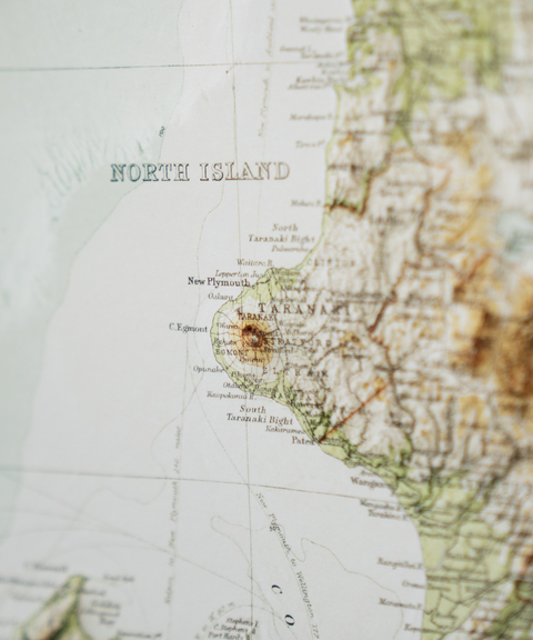
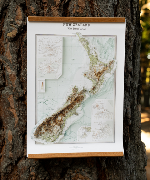
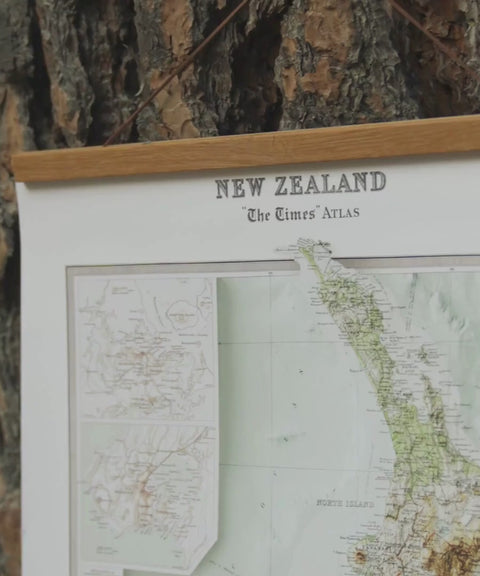
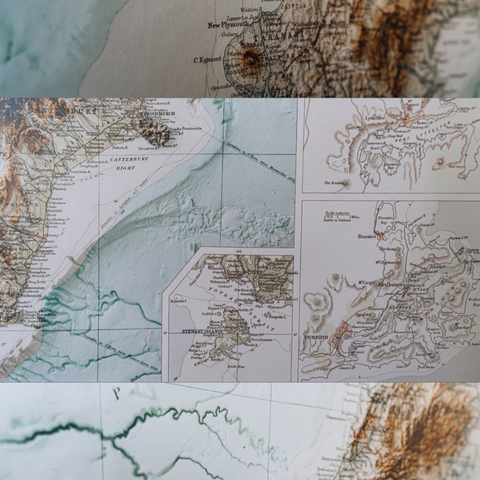
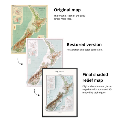
Shaded relief maps are high-quality 2D prints that use digital shading to create a stunning 3D illusion. Though flat to the touch, the maps appear raised thanks to realistic shadows and highlights.
Shaded relief maps are high-quality 2D prints that use digital shading to create a stunning 3D illusion. Though flat to the touch, the maps appear raised thanks to realistic shadows and highlights.